Western travel writers have a collective meltdown every time they visit Chongqing.
They step off a train, look up, see a monorail slicing through a residential apartment block, and immediately start churning out copy about "8D magic cities" and Blade Runner fantasies. They tell you that finding yourself on the 22nd floor when you thought you were on the ground is a triumph of futuristic, mind-bending urbanism. Learn more on a similar subject: this related article.
It is not. It is a desperate, incredibly expensive engineering workaround for a geography that probably should never have been urbanized at this scale in the first place.
The Western obsession with Chongqing’s vertical layout misses the entire point of why the city looks the way it does. It treats a masterclass in civil engineering survival as a theme park aesthetic. If you are looking at Chongqing as a sci-fi playground, you are looking at it wrong. More analysis by AFAR delves into comparable perspectives on this issue.
The Topography Myth: Why Verticality Was a Threat, Not a Choice
The standard narrative goes like this: Chongqing is a sparkling example of hyper-dense, intentional vertical planning where architects decided to play with three-dimensional space for the thrill of innovation.
Let us fix that premise immediately. Chongqing is vertical because the alternative was economic irrelevance.
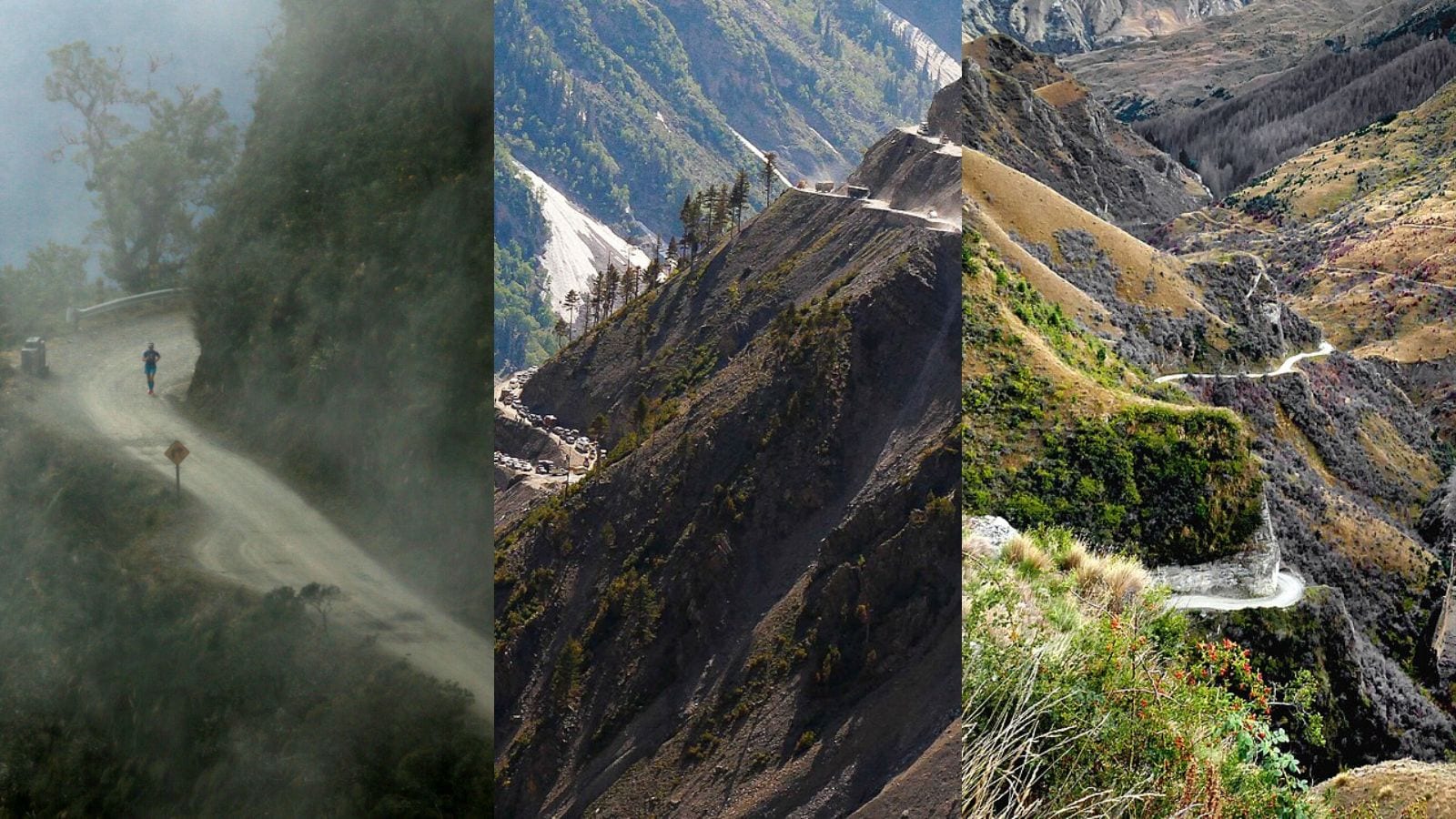
The city is jammed into the confluence of the Yangtze and Jialing rivers, choked by the Daba and Dalou mountain ranges. In classic urban planning, you build on flat plains. Chongqing has none. When the Chinese government designated Chongqing as a direct-administered municipality in 1997 to drive growth in the western interior, planners faced a logistical nightmare. They had to settle tens of millions of people on land that was essentially a series of steep cliff faces.
When a city builder looks at a slope steeper than 30 degrees, they see a liability. Every single "viral" feature of Chongqing—the roads on top of roofs, the bridges spanning dizzying chasms, the subways inside buildings—is a reactionary measure to handle extreme grades while preventing catastrophic landslides.
The Math of the Liziba Monorail
Take the Liziba Station, the poster child for Chongqing's "wacky" infrastructure, where the Line 2 monorail passes through the sixth through eighth floors of a 19-story residential building.
The internet frames this as a quirky architectural choice. The reality is a brutal lesson in land scarcity and eminent domain.
When Line 2 was being planned in the late 1990s, the transit authority and the residential developers realized they both owned rights to the exact same sliver of hillside. If the transit authority built around the site, the detour would cost tens of millions of dollars in extra track and structural supports over a steep ravine. If the developer gave up the land, they lost a prime real estate footprint.
The compromise was pure necessity, not a desire to create a tourist trap. The station and the apartments were built simultaneously as a single structural unit. They used specialized isolation dampeners to separate the subway’s vibrations from the residential pillars. It was an engineering compromise to save money, not an attempt to look futuristic.
The Invisible Tax of Living in an 8D City
Everyone wants to talk about the view from the 22nd floor. Nobody wants to talk about the maintenance bills, the commute times, or the absolute failure of modern GPS navigation inside the city limits.
I have spent years studying urban logistics across Asia. The shiny videos on social media hide the structural friction that makes Chongqing an incredibly punishing place to operate a business or live a normal life.
1. The Death of Navigation and Delivery Logistics
If you run an e-commerce or food delivery business, efficiency depends entirely on mapping software. Standard GPS operates on a horizontal grid system ($X$ and $Y$ coordinates). It assumes that if a delivery driver is at a specific latitude and longitude, they are at the destination.
In Chongqing, that assumption collapses. A driver arrives at the pin drop only to realize they are 150 feet below the customer, separated by a sheer concrete retaining wall. To get to the actual door, they have to drive two miles down a spiral ramp, cross a bridge, and enter a different building's elevator system.
This creates massive logistical friction:
- Delivery times are nearly double those of flat cities like Beijing or Shanghai.
- Gig workers burn through fuel and battery power navigating vertical elevation changes that mapping algorithms fail to predict.
- Autonomous vehicles—the darling technology of tech optimists—are crippled here. The complex layering of concrete overpasses blocks satellite signals, forcing self-driving test cars to rely on insanely dense, hyper-expensive LiDAR arrays just to know which level of a road they are on.
2. The Maintenance Nightmare
Concrete degrades. Water seeps. In a city where roads rest on top of residential rooftops, a simple pothole or structural crack is not just a highway department issue; it is a housing disaster for the tenants living directly beneath the asphalt.
The sheer volume of retaining walls, flyovers, and elevated pillars means that Chongqing’s municipal maintenance budget is an astronomical burden. The city has over 14,000 bridges. Maintaining structural integrity under the constant pounding of heavy transit and freight in a humid, subtropical climate requires constant injection of capital. It is an unsustainable infrastructural loop.
Dismantling the "People Also Ask" Delusions
When people search for information on Chongqing, their questions reveal how deeply the "magic city" marketing campaign has succeeded. Let us answer the most common queries with actual data instead of tourist hype.
Is Chongqing safe to live in given its crazy geography?
Yes, but not because of "magic." It is safe because of absurd amounts of structural steel and deep-foundation engineering. The city sits on highly weathered sandstone and mudstone layers. Building skyscrapers here requires drilling foundation piles incredibly deep into the bedrock to prevent the hillsides from sliding into the Yangtze during monsoon season. The safety is real, but it is bought with massive carbon footprints and endless concrete pouring.
How do people navigate Chongqing without getting lost?
They rely on local intuition, landmarks, and a distinct lack of reliance on technology. While the rest of China has gone completely digital, Chongqing still requires human intervention for basic navigation. Locals do not tell you to go "North" or "South." They tell you to go "Upstairs" or "Downstairs." It is a return to analog spatial awareness because digital mapping cannot keep up with three-dimensional density.
Is Chongqing a glimpse into the future of global cities?
Absolutely not. Chongqing is an anomaly, a hyper-specific response to a localized geographic crisis. Most global cities facing population booms—like Lagos, Jakarta, or Manila—cannot afford the staggering capital expenditure required to build this way. Chongqing's model requires a centralized state-backed banking system willing to pour billions into infrastructure projects without expecting an immediate return on investment. Try replicating this model in a market-driven economy, and the project files for insolvency before the first foundation pile is driven.
The Dark Side of the Tourist Boom
The "8D City" label has transformed Chongqing into an internet sensation, drawing tens of millions of domestic tourists every year. Places like Hongyadong—a stilt-house complex clinging to a cliffside—are packed to the gills with people trying to capture the perfect neon-drenched photo.
But look past the camera lens. This hyper-tourism has turned functional public infrastructure into choked bottlenecks.
+------------------+-----------------------+-----------------------+
| Location         | Original Intent       | Tourist Consequence   |
+------------------+-----------------------+-----------------------+
| Liziba Station   | Public Transit Link   | Overcrowded plazas,   |
|                  |                       | traffic delays        |
+------------------+-----------------------+-----------------------+
| Hongyadong       | Commercial/Cultural   | Gridlocked walking    |
|                  | Space                 | paths, inflated rents |
+------------------+-----------------------+-----------------------+
| Yangtze Cableway | Essential River       | 3-hour wait times for |
|                  | Crossing for Locals   | a 5-minute tourist ride|
+------------------+-----------------------+-----------------------+
The Yangtze River Cableway was built in 1987. It was a vital, cheap commuter transit option for working-class residents to cross from the Yuzhong district to Nan'an before the massive bridge networks were completed. Today, it is functionally useless for locals. The ticket prices have been raised to cater to tourists, and the wait times stretch into hours. Commuters have been pushed off their own historical transit lines to accommodate social media influencers.
The Reality Check
Stop romanticizing the vertical sprawl.
Chongqing is an impressive feat of human willpower and raw engineering muscle. It proves that if you throw enough concrete, steel, and money at a mountain, you can force a metropolis to grow out of it.
But do not mistake survival mechanics for a visionary lifestyle. The multi-level architecture is a clunky, high-maintenance response to a hostile topography. It is a city built on compromises, where every layer of roads represents a battle against gravity that requires endless money to maintain.
The next time you see a video of a train passing through an apartment building, do not marvel at the sci-fi aesthetic. Recognize it for what it truly is: an expensive, logistical apology for building a city where a city had no business being built.