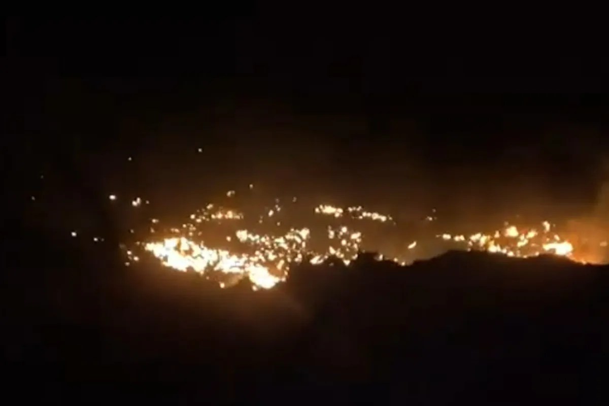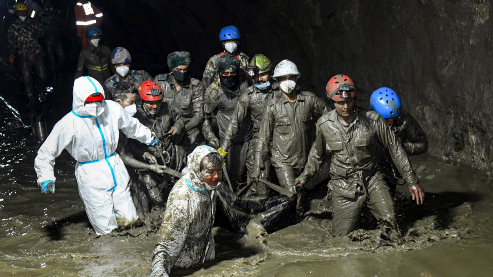
A 2.2 square kilometer section of a mountain face shears away from its anchor, plunging millions of tons of rock and ice into a narrow valley and unleashing a catastrophic flood downstream. A recent scientific study examining this massive disaster in Nepal exposes a terrifying reality about High Mountain Asia. The earth is shifting beneath our feet faster than our warning systems can track, driven by a lethal combination of rising temperatures, permafrost thaw, and intense monsoon dynamics. This is not merely an isolated freak accident of nature. It is a symptom of a systemic geological unraveling across the world's highest mountain range.
For decades, hazard assessments in the Himalayas focused primarily on glacial lake outburst floods. Scientists watched the blue, swelling basins trapped behind unstable moraine dams, measuring water levels and calculating breach probabilities. But the recent disaster reveals a blind spot in that methodology. The danger is not just coming from the water stored on top of the mountains. It is coming from the structural integrity of the mountains themselves. When an entire mountainside fails, dropping over two square kilometers of rock into a river gorge, the resulting displacement wave and subsequent debris flow dwarf traditional flood scenarios.
The mechanics of such catastrophic slope failures are deceptively simple and terrifyingly complex. High-altitude rock faces depend on internal refrigeration to maintain stability. Permafrost acts as a natural cement, freezing joints, fractures, and fissures within the bedrock. As regional temperatures climb at rates well above the global average, that deep-seated ice begins to rot. Water infiltrates the newly opened cracks during unprecedented high-altitude rainstorms, exerting immense hydrostatic pressure. Friction drops. Shear strength vanishes. Gravity simply finishes the job.
When that 2.2 square kilometer mass detached, it did not slide gracefully. It shattered mid-air, transforming into an avalanche of pulverized granite and ice that attained terminal velocity before slamming into the valley floor. The kinetic energy released upon impact generated seismic tremors recorded by distant monitoring stations, instantly damming the local river and creating an unstable artificial lake. Minutes later, the temporary natural dam breached. A wall of mud, boulders, and water tore through downstream settlements, obliterating bridges, hydropower infrastructure, and agricultural terraces built over generations.
Communities living in these narrow gorges face an existential crisis, yet institutional responses remain dangerously bureaucratic. Local authorities often rely on outdated hazard maps that assume historical weather patterns and stable topography. Engineers design hydropower stations using hydrological data from the past century, completely ignoring the fact that the drainage basins above them are actively morphing. A concrete dam engineered to withstand a standard seasonal flood is utterly defenseless against a high-velocity debris avalanche triggered by a massive bedrock collapse.
The scientific community is scrambling to adapt. Remote sensing technologies, satellite interferometry, and high-resolution digital elevation models now allow researchers to detect millimeter-scale surface displacements before a catastrophic failure occurs. Satellites orbiting hundreds of kilometers above the earth can track the gradual bulging of a mountainside months before it lets go. Yet, turning raw orbital data into actionable evacuation orders for remote mountain villages remains a monumental logistical hurdle. Telecommunication networks in deep Himalayan gorges are notoriously fragile, and local populations frequently lack the resources or early-warning infrastructure required to react within minutes of a sudden geological collapse.
Furthermore, political boundaries complicate risk mitigation. Watersheds do not respect national borders. A catastrophic slope failure in a remote, high-altitude border region can send a devastating flood wave cascading across international boundaries into downstream nations, creating diplomatic friction over data sharing, transboundary river monitoring, and early warning systems. Bureaucratic inertia often stalls critical infrastructure upgrades, leaving vulnerable communities trapped in a cycle of seasonal dread.
The implications extend far beyond the immediate disaster zone. As global energy demands push nations to harness the immense hydroelectric potential of Himalayan rivers, hundreds of billions of dollars in infrastructure are being poured into steep, unstable river valleys. Investors and developers frequently underestimate the geomorphic volatility of the terrain. Building a multi-billion-dollar dam in a region where entire mountain faces can spontaneously disintegrate is an extreme gamble with catastrophic stakes. Financial risk models must be completely rewritten to account for slope failure hazards that were once considered statistical impossibilities.
The video below shows field footage and geological analyses of similar high-altitude avalanche events and valley floor impacts.
Addressing this crisis requires a fundamental shift in how geologists, engineers, and policymakers conceptualize mountain risk. Traditional disaster management relies on historical precedent, looking backward to predict the future. In a rapidly warming world, history is no longer a reliable guide. Every steep slope must be evaluated not as a permanent landmark, but as a dynamic, degrading structure under constant stress. Until regional authorities integrate bedrock stability monitoring directly into operational flood forecasting networks, valleys downstream will remain exposed to sudden, invisible avalanches waiting to strike without warning.