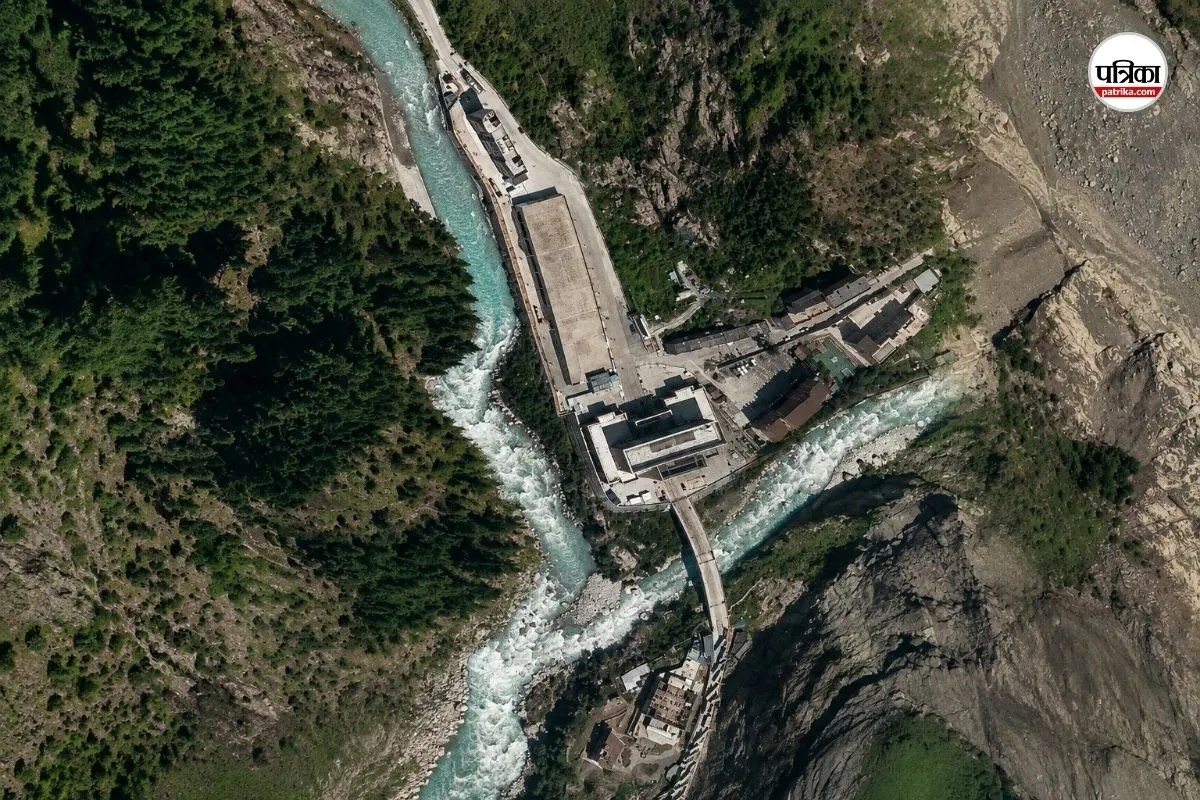
The physical reality of the Himalayas is shifting beneath our feet, and the disaster unfolding across Nepal is proof that warning systems are struggling to keep pace with the mountains. Following a catastrophic flash flood that claimed hundreds of lives near the Nepal-Tibet border, a massive new threat has emerged: a debris-choked barrier lake is now overflowing, raising alarms for downstream communities.
If you are wondering why these floods keep catching authorities off guard, the answer lies in how high-altitude terrain is changing. Ice loss rates across the Hindu Kush Himalaya region have doubled since the turn of the century. When a massive section of a glacier or an unstable rock mass breaks off at 17,000 feet, it doesn't just trigger an immediate avalanche; it creates temporary natural dams that lock massive volumes of water behind unstable walls of mud and debris.
Understanding the New Barrier Lake Danger
The initial disaster struck when a staggering chunk of ice and rock detached from the Langtang Lirung area near the border, sending a violent slurry hurtling down into the valley. This debris instantly dammed local river channels, forming an unstable water body containing millions of cubic meters of water.
Now, that makeshift barrier is failing. As water breaches the top of these loose sediment walls, the risk of a secondary outburst multiplies.
- The Volume Problem: Reports indicate the newly formed pool holds roughly 2.5 million cubic meters of water.
- The Cascade Effect: When these temporary barriers give way, they don't just leak; they release a wall of water that scours riverbanks clean, destroying bridges, roads, and hydropower infrastructure.
- Cross-Border Vulnerability: Because these hazards originate in remote, high-altitude border zones between Nepal and Tibet, monitoring equipment is sparse, leaving very little reaction time for villages downstream.
Why Traditional Preparedness Falls Short
Scientists from institutions like the International Centre for Integrated Mountain Development (ICIMOD) warned months in advance that smaller glaciers and high-altitude lakes were reaching a critical tipping point. Yet, operational planning often relies on historical weather patterns that no longer apply to modern realities.
When a high-altitude ice avalanche occurs, it releases exponential amounts of energy compared to a slow-leaking glacial lake. Cross-border early warning networks have successfully flagged several risks in the past, but sudden bedrock failures leave automated sensors blind until the destruction is already underway. Rescue teams attempting to reach places like Rasuwa and surrounding river corridors face blocked roads, deep mud, and ongoing secondary hazards.
What Needs to Happen on the Ground Now
Addressing this crisis requires shifting focus from reactive disaster management to aggressive regional tracking. Governments across South Asia must integrate real-time satellite remote sensing with localized river-gauge monitoring. Communities living along vulnerable river systems like the Bhote Koshi, Trishuli, and Gandak basins need direct, automated mobile alerts rather than relying on delayed administrative relays.
If you live or operate near these Himalayan river corridors, stay tuned to official meteorological updates, heed emergency SMS directives immediately, and keep away from low-lying riverbanks until peak monsoon instability subsides.