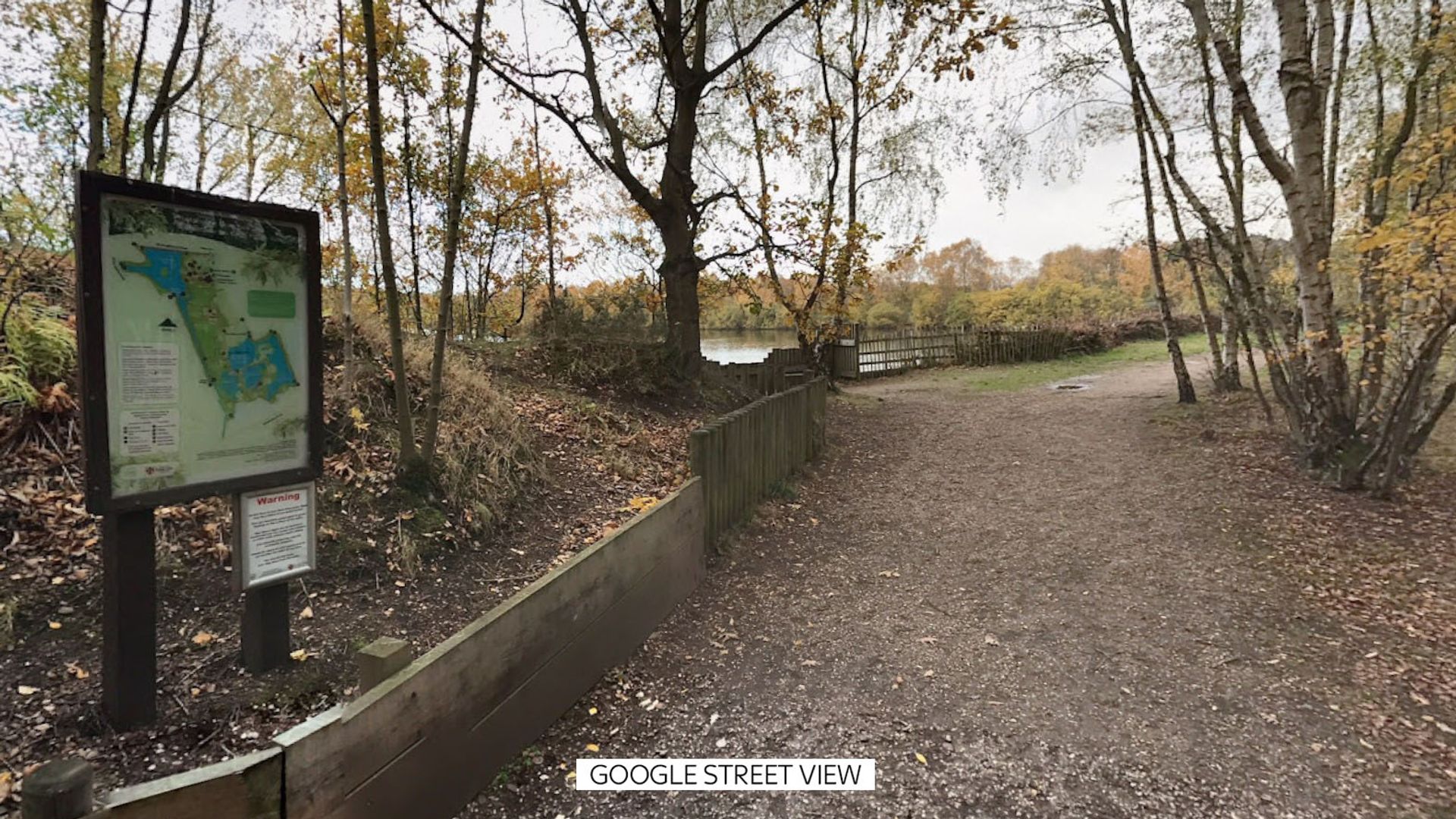
The transition from a missing person report to a recovery operation in open water environments follows a highly predictable, mathematically driven timeline. When a 15-year-old male enters a lake and fails to resurface, local emergency services do not engage in a random search; they deploy a structured resource-allocation model dictated by hydrology, thermal dynamics, and human physiology. The structural breakdown of these operations reveals that structural gaps in public safety infrastructure, rather than a lack of personnel deployment, dictate the tragic outcomes of open-water incidents.
Evaluating these events requires analyzing the critical variables that govern search and recovery timelines, the physiological imperatives of freshwater submersion, and the strategic deployment of localized containment barriers.
The Tri-Variable Framework of Open Water Submersion
Open water search operations are governed by three primary environmental vectors: thermal stratification, current velocity, and benthic topography. When an incident occurs in a inland body of water such as a lake, these three vectors dictate the search perimeter and the selection of recovery assets.
                  [Incident Baseline: Submersion Event]
                                    |
       +----------------------------+----------------------------+
       |                            |                            |
       v                            v                            v
[Thermal Stratification]    [Current Velocity]          [Benthic Topography]
 - Thermocline Barrier       - Vector Drift               - Siltation Pockets
 - Metabolic Deceleration    - Drag Coefficients          - Entanglement Hazards
Thermal Stratification and Benthic Dissolution
Inland lakes are rarely uniform columns of water. They are stratified into distinct thermal layers: the epilimnion (warm surface water), the thermocline (the zone of rapid temperature drop), and the hypolimnion (the cold, dense bottom layer).
The temperature of the hypolimnion significantly influences the biological timeline of a recovery operation. In cold water—typically below 15°C—the metabolic rate of microflora responsible for decomposition shifts downward. This slows the generation of visceral gases that otherwise cause a submerged body to regain buoyancy.
The recovery timeline is directly tied to this biological clock. If a body sinks below the thermocline into cold, hypoxic water, the asset-allocation window shifts from hours to days. The search perimeter remains highly localized because the physical forces generating lateral movement are minimized at these lower depths.
Current Velocity and Drift Mechanics
While lakes are often classified as static bodies of water, they are subject to wind-driven surface currents, tributary inflows, and thermal plumes.
$$V_{drift} = V_{surface} \times C_{drag}$$
The drift velocity ($V_{drift}$) of a submerged object is a function of the surface current velocity ($V_{surface}$) scaled by the specific drag coefficient ($C_{drag}$) of the object's orientation relative to the flow.
When a juvenile swimmer experiences distress and submerges, their final surface position represents the datum point. The search quadrant expands exponentially based on the measured current velocity at the specific depth of submersion.
A surface current of just 0.5 knots can displace a descending object by dozens of meters before it reaches the lakebed, depending on depth and water density. Search managers map these vectors using hydrodynamic models to establish a high-probability search zone.
Benthic Topography and Sonar Interference
The floor of an inland lake is rarely a flat plain. It consists of silt layers, submerged vegetation, rock formations, and anthropocentric debris. This topography presents a dual challenge for search operations.
First, soft silt acts as a physical containment mechanism. An object striking a silty bottom at velocity can become partially embedded, reducing its acoustic cross-section.
Second, submerged vegetation and debris create acoustic noise that degrades the efficacy of Side-Scan Sonar (SSS) and Remotely Operated Vehicles (ROVs). High-frequency sonar rely on clear line-of-sight acoustic returns to differentiate between organic structures and target anomalies. A highly irregular benthic topography introduces shadows and false positives, forcing a reliance on systematic, manual diving operations that carry elevated risk profiles.
Physiological Failure Cascades in Freshwater Distress
The timeline of an accidental drowning event is compressed by the specific chemical properties of freshwater. Understanding this physiological timeline explains why the initial rescue window is measured in minutes, after which the operation structurally transitions into a forensic recovery event.
- The Cold Shock Response: Upon sudden immersion in water below 15°C, the skin's thermal receptors trigger an involuntary gasping reflex. If the individual's airway is submerged during this initial reflex, aspiration of water occurs immediately. This triggers localized laryngospasm, a protective but temporary sealing of the airway that induces rapid hypoxia.
- Hypervolemia and Electrolyte Dilution: Unlike saltwater, which is hypertonic relative to human blood, freshwater is hypotonic. When freshwater enters the lungs, it crosses the alveolar-capillary membrane via osmosis almost instantly. This rapid influx of water into the bloodstream causes massive hypervolemia, diluting serum electrolyte levels and causing hemolysis (the destruction of red blood cells).
- Myocardial Fibrillation: The combination of acute hypoxia and severe electrolyte imbalance—specifically a rapid drop in sodium and potassium concentrations—disrupts the electrical conduction system of the heart. In freshwater drownings, ventricular fibrillation can occur within two to three minutes of submersion, rendering survival highly improbable unless immediate extraction and advanced cardiac life support are applied.
The physiological reality dictates that by the time an emergency call is routed through dispatch and regional dive teams are mobilized, the operational profile has almost always crossed the threshold from active rescue to forensic recovery. The public expectation of a "rescue" frequently clashes with this biological constraint.
Resource Deployment and Tactical Searching
Once the operation transitions to recovery, search managers implement a tiered deployment strategy designed to maximize search probability while mitigating risk to personnel.
[Phase 1: Surface Containment] ---> Visual/FLIR Shoreline Sweep
                                         |
                                         v
[Phase 2: Acoustic Mapping]     ---> Side-Scan Sonar (SSS) & Multi-Beam
                                         |
                                         v
[Phase 3: Targeted Verification] ---> ROV Deployment / Public Safety Divers
Phase 1: Surface Containment and Initial Boundary Setting
The first operational step involves securing the physical perimeter. Marine units deploy surface assets to halt recreational boat traffic. This is a technical requirement, as wake action disrupts the water column, alters currents, and introduces acoustic interference that compromises sonar readings. Shoreline teams utilize forward-looking infrared (FLIR) optics to scan the immediate perimeter for thermal signatures that might indicate a victim who managed to exit the water but succumbed to hypothermia or trauma in the brush.
Phase 2: Acoustic Subsurface Mapping
If surface sweeps yield negative results, the operation deploys towed Side-Scan Sonar arrays or vessel-mounted multi-beam echo sounders. These systems emit fan-shaped acoustic beams perpendicular to the vessel's path, mapping the lakebed with millimeter-wave precision.
The primary metric here is the probability of detection (POD). The vessel moves in a series of overlapping parallel grids, ensuring that the acoustic "shadows" cast by benthic features are viewed from multiple angles. Analysts look for specific geometric anomalies that match human dimensions, noting the coordinates of high-probability targets.
Phase 3: Targeted Verification via ROV and Divers
Divers face severe environmental constraints, including zero-visibility conditions, underwater entanglement hazards, and strict no-decompression limits. To optimize safety, modern recovery operations deploy tethered ROVs equipped with high-definition cameras and robotic manipulators to investigate sonar anomalies first.
Divers are deployed only when a target is confirmed or when the benthic topography prevents ROV maneuverability. The divers operate under a strict tethered communication system, executing circular or jackstay search patterns guided by surface controllers who monitor their position via acoustic tracking systems.
Municipal Risk Factors and Preventative Deficits
Every recovery operation highlights systematic failures in local risk mitigation frameworks. Analyzing these incidents from a structural perspective reveals that warning signs alone are insufficient tools for public safety management in natural bodies of water.
The primary limitation of traditional signage is cognitive desensitization. When a geographic area features uniform warning signs without context regarding specific hazards—such as sudden drop-offs, underwater currents, or cold-water shock variables—the public treats the warning as a generic liability disclaimer rather than an active hazard notification. This creates a behavioral bottleneck where adolescents, who possess an altered neurological risk-assessment profile, routinely bypass barriers.
To address these deficits, municipalities must transition from passive warning architectures to active containment and intervention systems. This requires a three-tier infrastructure strategy:
- Geomorphic Modification: Where public access points interface with deep water or hazardous drop-offs, municipalities should deploy physical structural interventions. This includes subsurface grading to create gradual slopes or the installation of permanent, heavy-duty physical barriers that prevent entry into high-velocity zones or deep thermal layers.
- Autonomous Public Safety Stations: Passive life rings are frequently vandalized or misplaced. Modern risk management requires the installation of solar-powered, connected rescue stations equipped with automated emergency alarms that ping local dispatch the moment a flotation device is removed from its cradle. This slashes the latency between the initial submersion event and resource mobilization.
- Thermal and Acoustic Sensing Networks: Deploying permanent, low-cost acoustic or optical sensors at high-risk, unmonitored swimming zones can detect anomalous water disruption or distress profiles. While unable to prevent entry, these systems eliminate the critical delay in establishing the datum point, allowing search and rescue teams to deploy directly to the exact coordinates of submersion within the vital five-minute physiological window.